Before relating more of what was in the vision, let’s paint a picture of the setting of the continents in that day. Over forty years ago, American geologist Christopher Scotese came up with Pangaea Proxima, the model that fits the model I saw, as the direction of the continents into the next Pangea. Here is a synopsis of the Pangaea Proxima model in the next 200 million years: right now, the tectonic plate that Africa sits on is pushing north at .2 inches a year. Give it enough time, Africa will bump into the southern border of Europe, destroying all of Italy and the Mediterranean Sea. At the same time, Africa will continue to push north and west, with its iconic, rounded, northwestern corner sticking way out into the seabed in the Atlantic Ocean. With this happening, the shape of Spain will get destroyed by having it be pushed into Europe. Scandinavia will also merge into Europe. Further, right now, even though North America is actually moving west at 1 inch a year, over time, North America will actually end up turning around and head back east, meeting Africa and Europe again. I saw Africa with its rounded, northwestern corner sticking way out in the Atlantic seabed, North America, with Greenland having long merged into its northern most tip, already heading back to meet Africa and Europe. The locations and shapes of the borders of the three main continents, North America, the future version of Europe, and the future version of the northwest section of Africa, allowed me to conjecture the time in the earth in the vision. All things considered, I would guesstimate the cut in time in the vision right at 170,000,000 years from now, plus or minus 10-20 million years. BTW, I was not allowed to see the horn of Africa, as we know it in the 21st century, the southern tip of Africa, North America in its entirety in any one scene, and water in general, including the Atlantic Ocean (more to be explained later on that.)
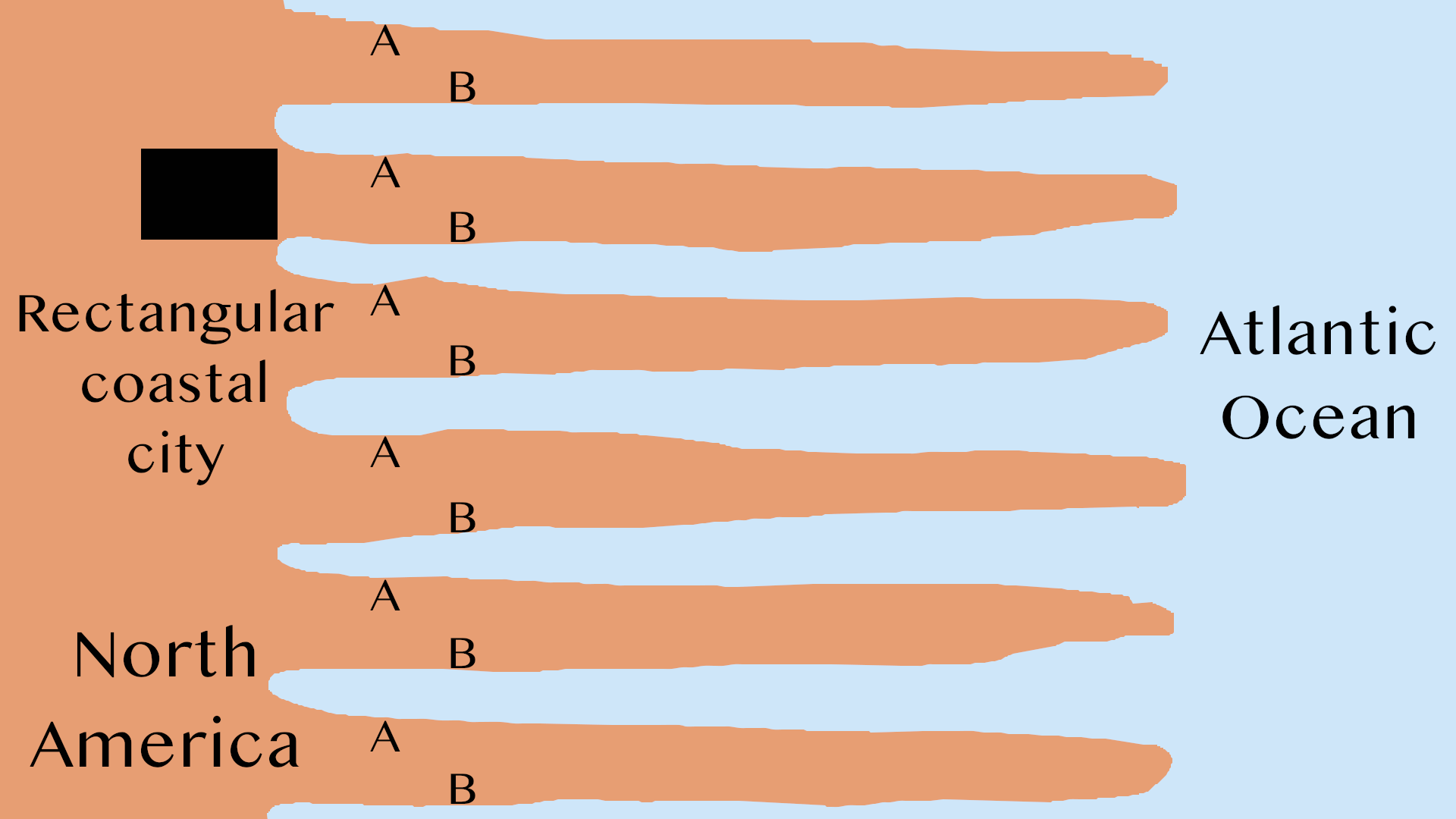
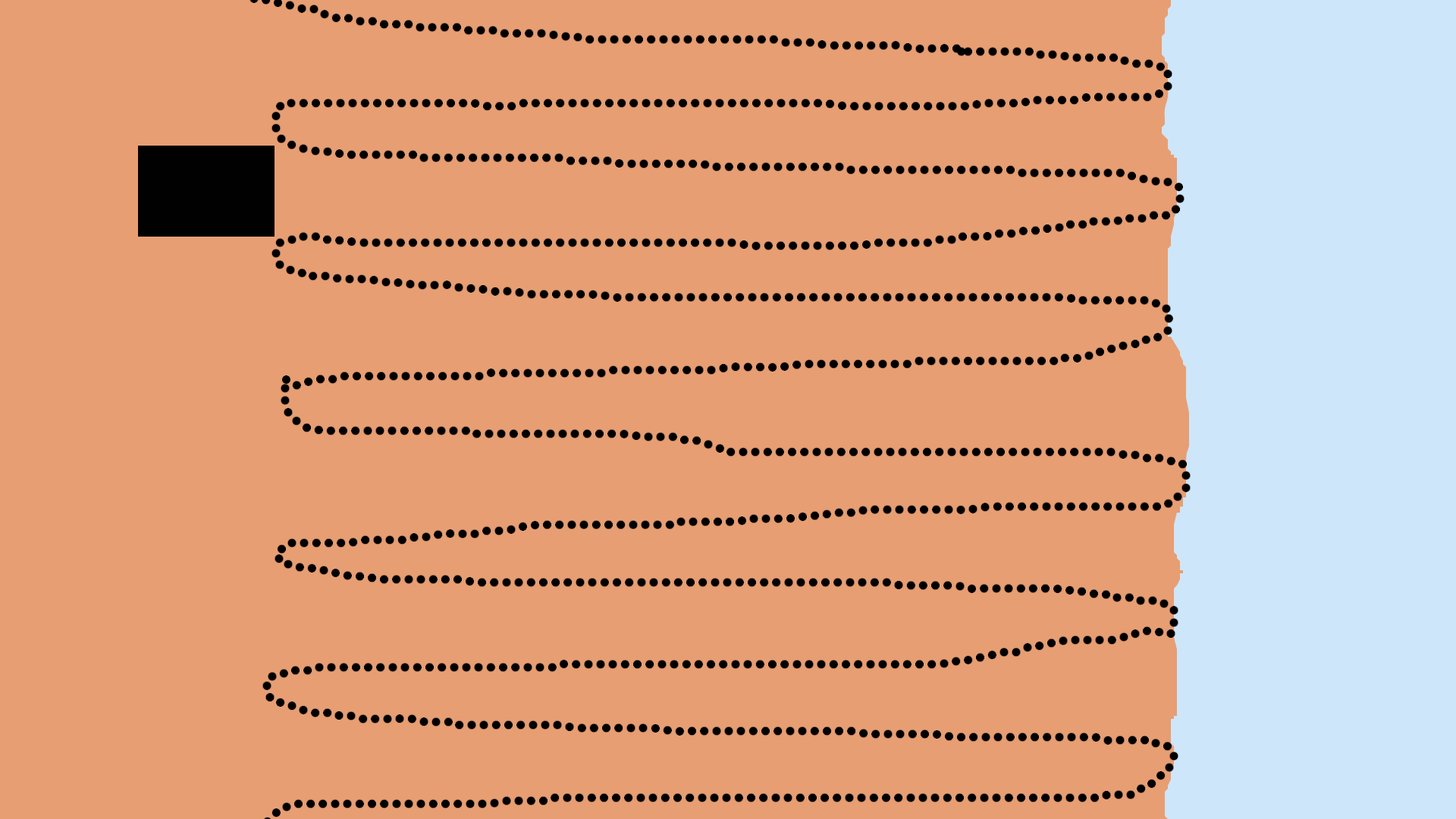
The opening scene took place in the northeastern section of the future version of North America. This is a far cry from the current version. I never saw the Great Lakes or even an empty seabed of the Great Lakes. The main video that allowed me to date the vision had the Great Lakes get destroyed about 20 million years from now. In the opening scene, Greenland, the currently, very rugged land, had already merged in with North America, making what I saw somewhat terraneous, but an inhabitable land. The rugged landscape was consistent with Greenland having merged in with North America. The main video in question has the eastern seaboard of that North America far smoother than the version I saw. My version seemed as if a number of spikes came out from the coast.
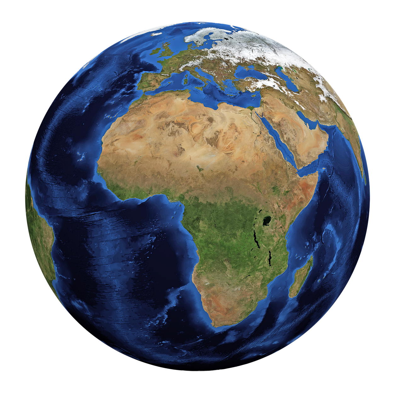
After the opening scene, I moved east over the northwestern section of Africa. (Just a note, the northwestern section of Africa is the easiest border that I can draw out, and the location of that land is the easiest one that I can locate on the map with the highest degree of accuracy.) When I was over Africa, I may have been around 150-200 miles up. When I was over Europe proper (in another scene), apparently in order to ensure I saw it for sure for sure, it was as if it was lit up and the surrounding areas were all darkened.
In another scene, probably a mere 15-20 miles up, I was hovering over western Europe. At the 170 million year mark, the video in question has the British Isles north of Europe, but I was facing west. Off the western coast of Europe, there was something small, and I’m not sure what it was. It was something, but not the larger British Isles. Perhaps, it was a very, small chain of islands. The reason this scene is important touches upon North America not having joined Europe and Africa yet. When facing North America in this scene, the view of North America was blocked, but I moved up into the atmosphere and then down Europe’s western seaboard, and there it was! Again! The land with the rounded corner (the future version of the northwestern section of Africa). And yes, it was sticking out significantly, not just pushing up against Europe, proving this was not just 40 or 50 million years into the future, but much farther out in the future. Actually, to accurately date the time of the vision, the locations and shapes of North America, Europe and the northwestern section of Africa all need to be taken into account. For all three to be in the proper place, the vision dates right at 170,000,000 years from now, plus or minus 10-20 million years. The iconic, rounded corner of Africa was the first marker in time, and the final marker was the approximate distance between North America and the western border of Europe and Africa.
With regards to what I was witnessing as I was touring the future version of the earth, what I saw was the infrastructure of that day coming and going in the form of black lines for roads and black rectangles as cities, and time was moving in a very, very high speed. One second in real time for me, as an estimate, may possibly have measured between 10,000 — 20,000 years on their side. Total real time for me in the vision from start to finish is estimated between 8-20 minutes. An estimated total amount of real time on their side may have been between 10-20 million years. Again, time in the vision was moving very, very fast. It should be noted as the scenes changed, it’s not guaranteed that every scene was continuous from the prior scene. Not having a legend, there was no way to tell the time in each scene. It was routine that the scenes changed completely. In one scene the emphasis may have been the shapes of the borders of the continents, and in the next scene, I was closer to the earth watching the cities coming and going. Yet, in another scene, the roads may have been the emphasis.
While large metropolitan areas lasted longer, the roads came and went what seemed like faster than the speed of lightening. In one second of real time for me, there may have been between five and eight systems roads that came and went. In one scene, it appeared as if 15-20 systems of roads in each second of real time for me were coming and going. (Once a video is made on this, with some trial and error, I should be in a better position to identify the speed of the appearances and disappearances of these roads.) There was no ticker or legend indicating how much time was passing, and there was not any narration. I’m thinking a video needs to be made after the second time of seeing the vision.
Further, when a new model of infrastructure would appear, it would appear instantaneously and completely. This was moving so fast, there was no way I could follow the building and the dismantling of the infrastructural models. A road is built from point A to point B, but the speed of time in the vision was so fast, I would only see the appearing and disappearing of the roads. Seeing 80 streaks of lightening across the night sky simultaneously would be slow motion compared to what I saw. (Lightening moves at 286,000 miles per second and may last a bit to the human eye. On a camera equipped with ultra-slow motion, you can see the lightning strike move.) Again, sometimes it seemed as if I was watching the infrastructure of five, six, fifteen or maybe 20 civilizations or sets of roads come and go in a single second in real time on my side. As said before, very large metropolitan areas would remain for longer periods of time, but those would also completely disappear from off the face of the earth. For us in the 21st century, it’s hard to imagine places like Mexico City, Beijing, or Chicago completely disappearing off the face of the earth. However, when you add huge periods of time, no matter how large or how old these cities, their use, for one reason or another, simply falls into disuse and get abandoned, or maybe they get destroyed by some disaster. Besides, this world only has 6000 years of recorded history, an obvious limitation in understanding the rise of fall of civilizations in respect of huge spans of time.
The infrastructures that I was witnessing appearing and disappearing were from the Gentile nations, with these secular cities being constantly resized. The Levitical cities and the Holy city in Ezekiel 45 and 48 respectively come with instructions not to resize them. There were times when I was watching a wider angle. Could I see the vision again, I would carefully look for the Levitical cities and the holy city, which would be fixed. A squared, holy city is mentioned in Ezekiel 48, and the holy city is mentioned in the Apocalypse. As a side note, the New Jerusalem will also come with four, fixed equal sides, making a square.
At times, it appeared as if I was only 10-30 miles up above the earth, and other times it could have been possibly between 100-200 miles above the earth. Most of the time was NOT spent carefully observing the boundaries of the continents, later found to be incredibly important, but from time to time, that aspect did show up. The borders of the continents were not present in every scene. There were numerous occasions when I just saw the infrastructure of cities and roads coming and going. Could I see the vision again, I’d most certainly be more observant. For example, I’d pay more attention to the shapes of the borders of the continents, in trying to capture the other places in the vision, and whether the roads crossed one another. In one scene, in particular, the roads, only running north and south, would not cross one another. In our limited 21st century minds, roads crossing one another is a given, but remember, this was over a 100 million years from now. Their technology is going to be far past ours. We’re living in the era of swords; shields have yet to be invented.


